Project Progress
Evolution of atlas plates and workshop episodes
Tracking the visual outputs, cartographic decisions, and developmental milestones of the UCSB R-Atlas.
Aspect Ratio Guidelines
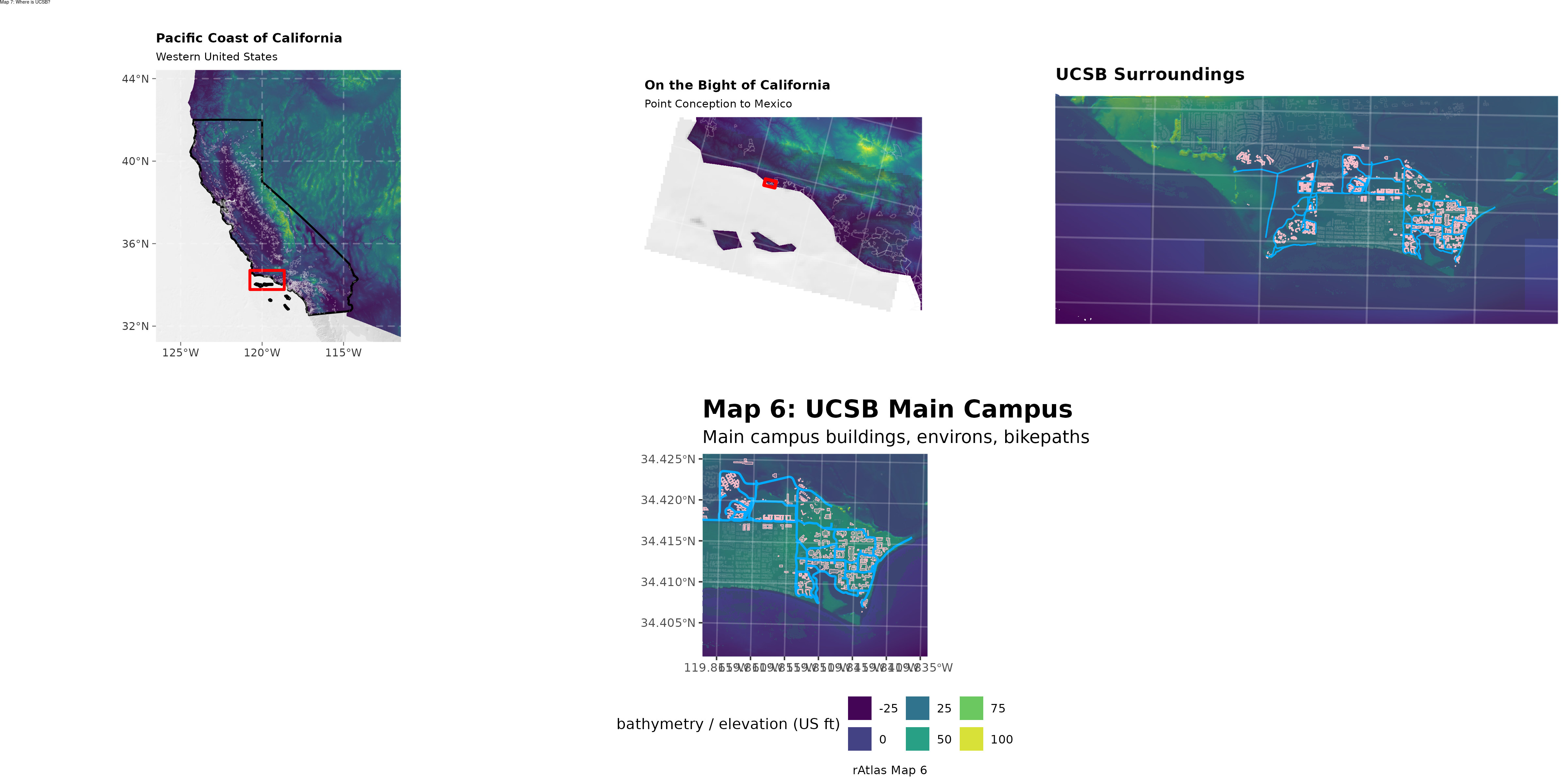
All outputs from atlas map scripts are standardized to a 3 tall x 4 wide (or 4 tall x 3 wide) aspect ratio for consistent framing, except where multi-panel compositions require custom dimensions (such as Map 7).
Plate Milestones
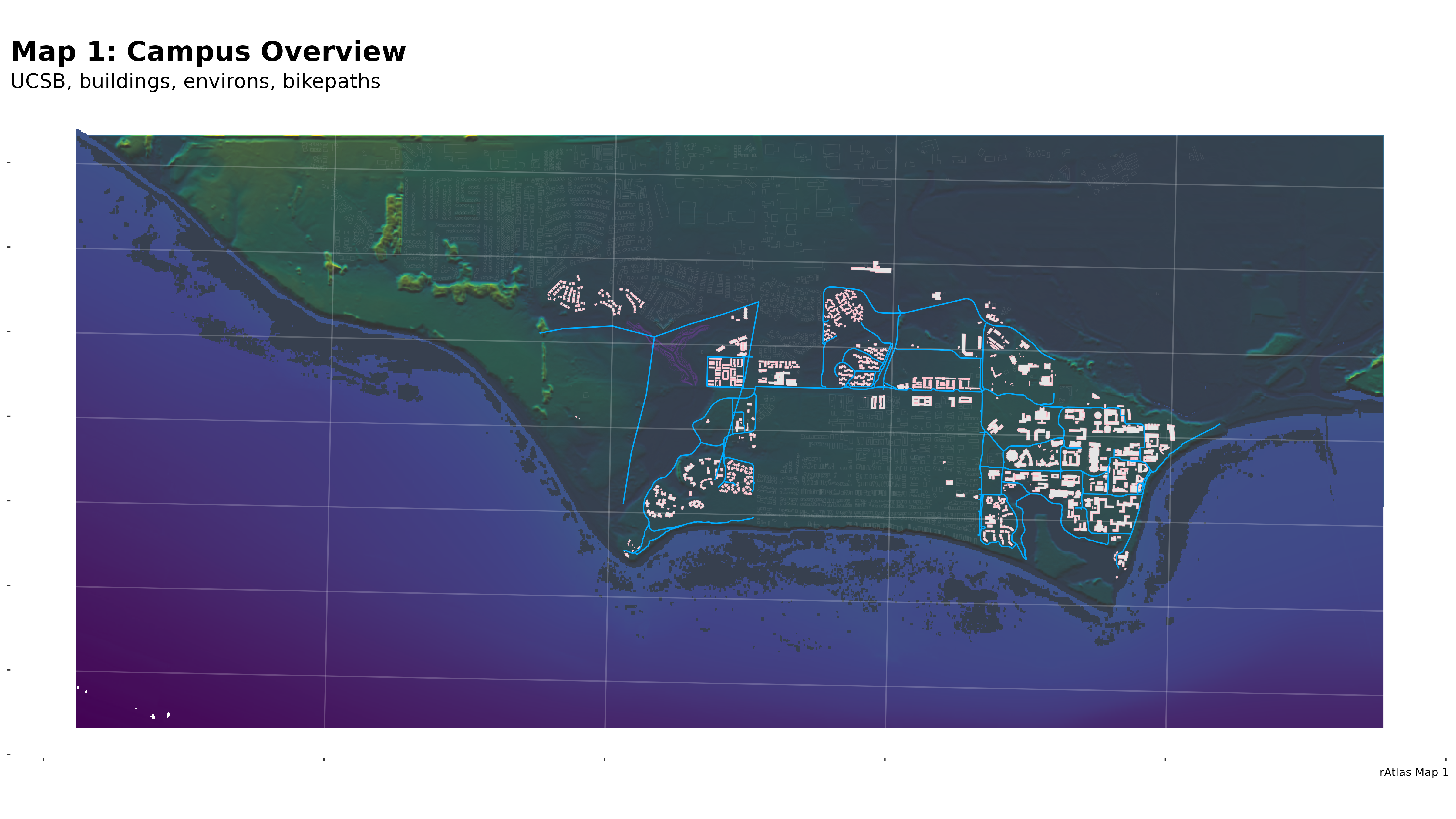
Map 1: Campus Overview
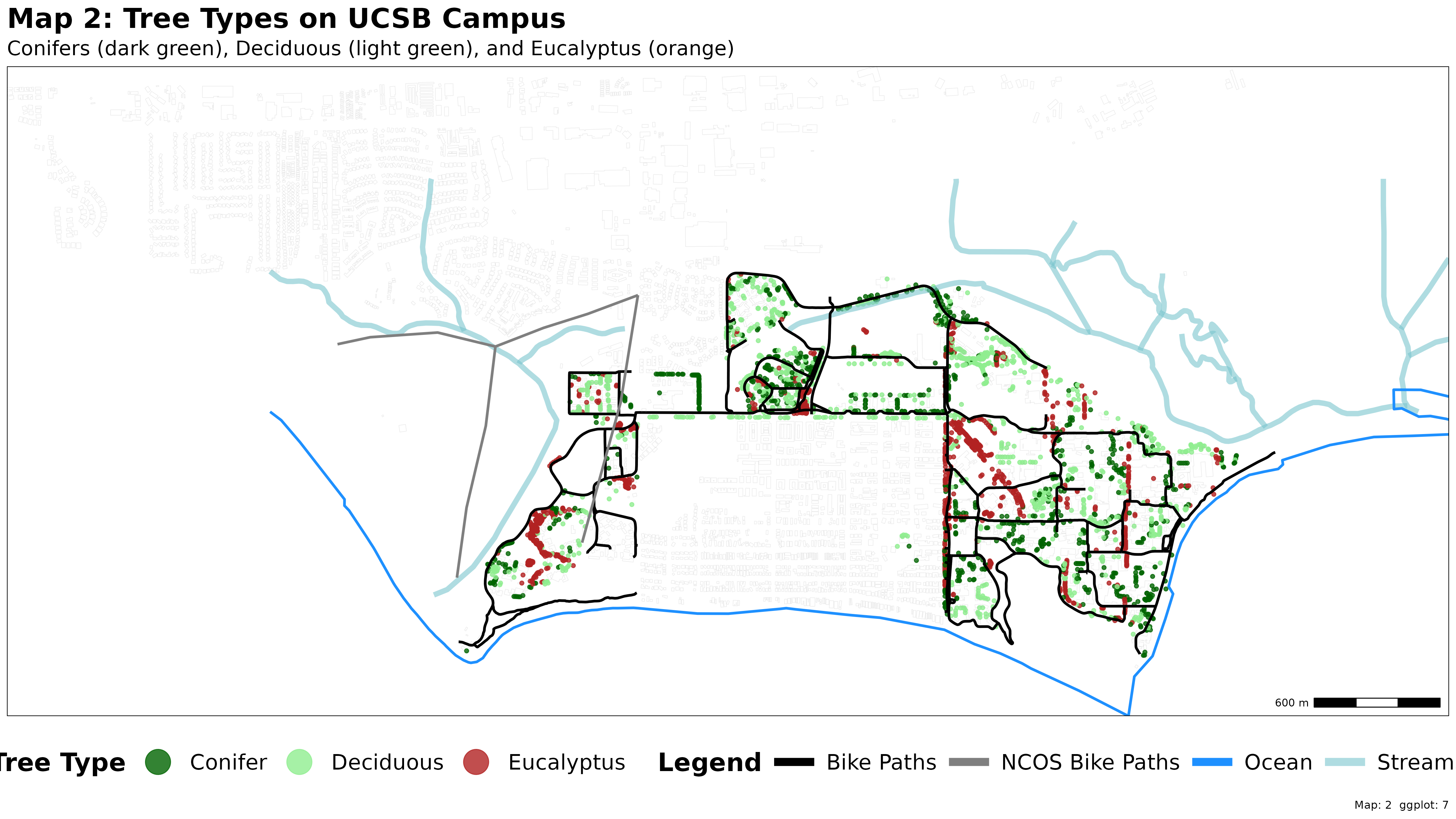
Map 2: Trees and Torches
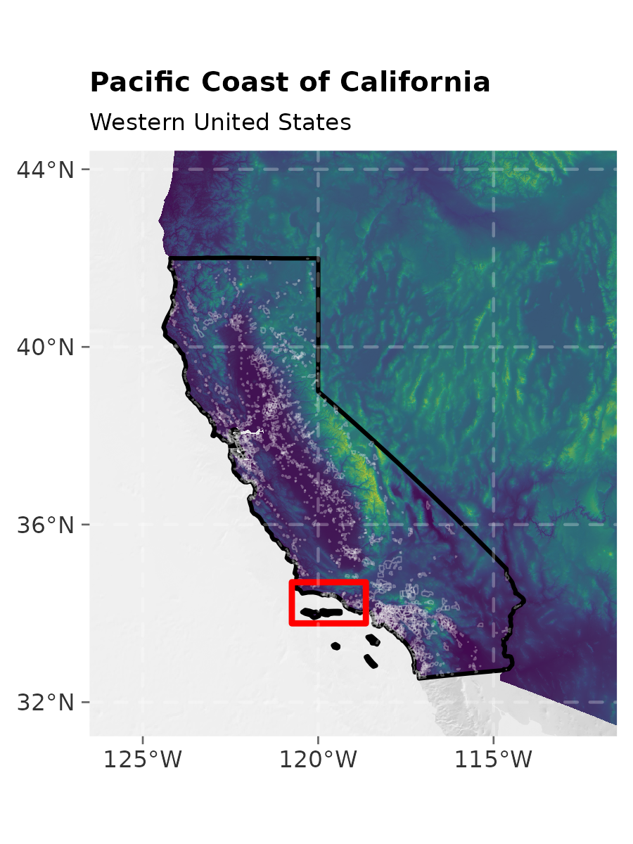
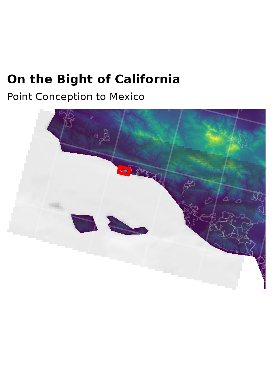
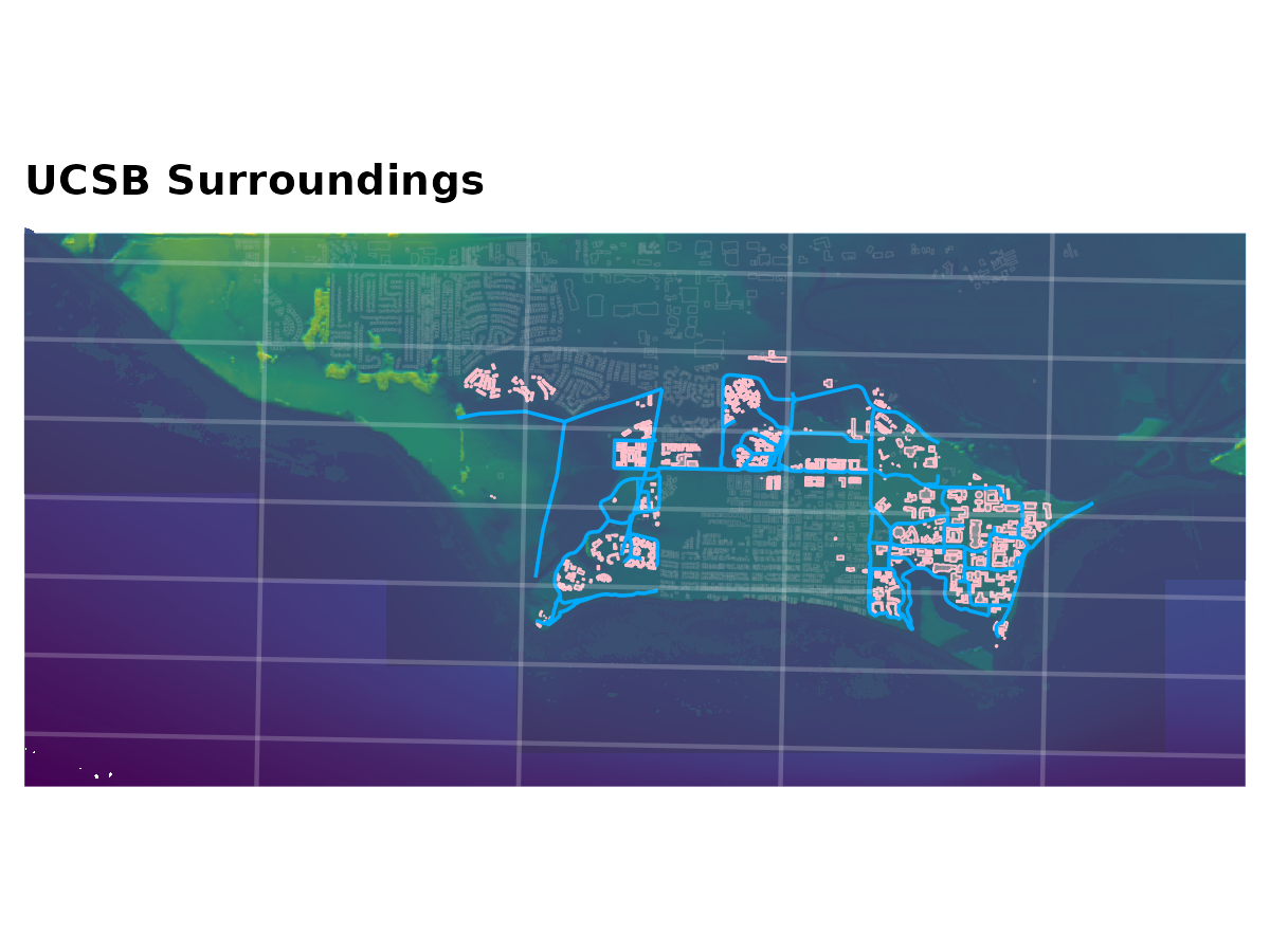
Map 7: Atlas Page Insets (Maps 3, 4, 5, 6)
The tryptic sequence zooms progressively from the Western United States into the Santa Barbara Channel and Campus:
Combined full-page layout:
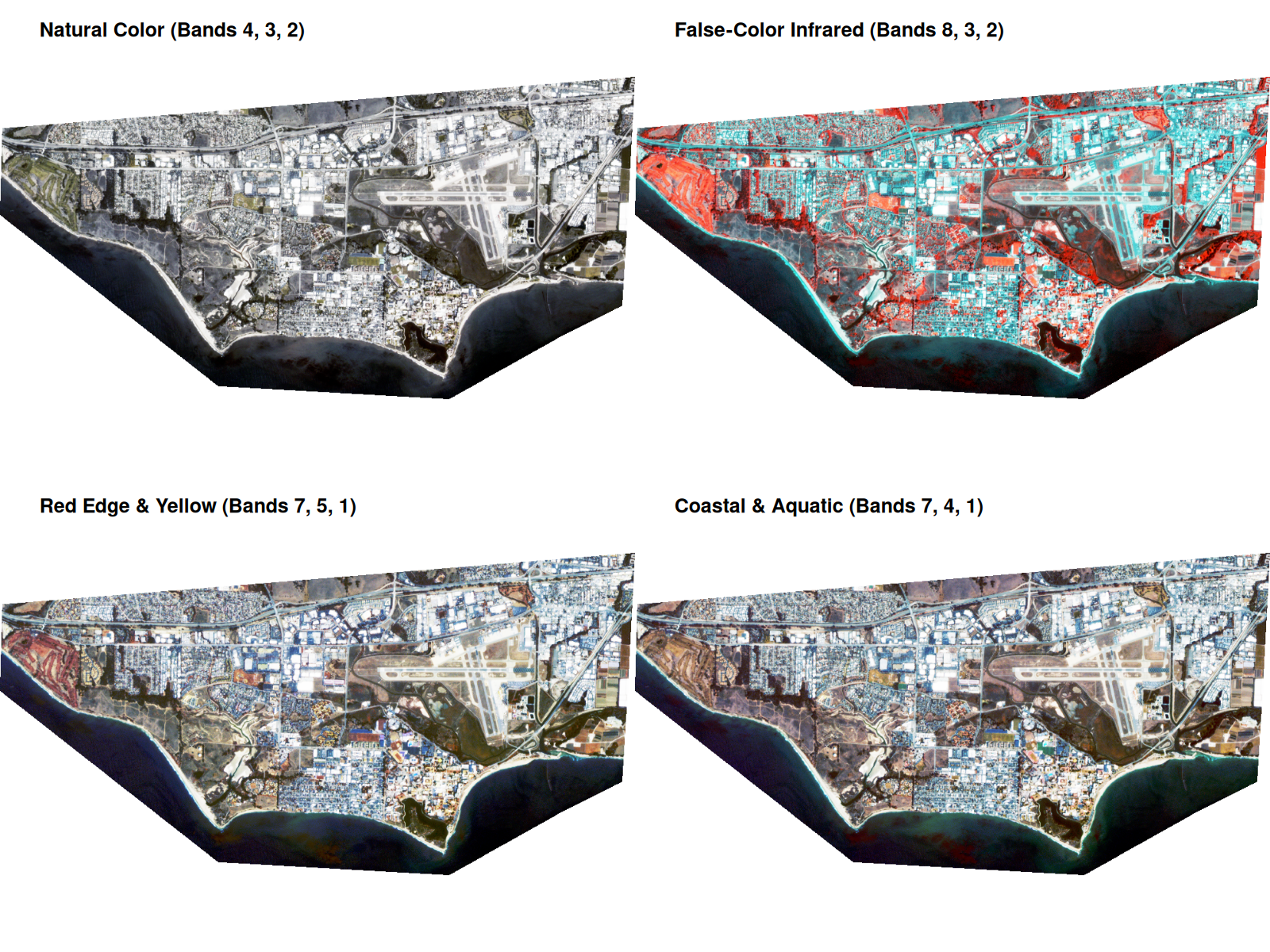
Map 8: PlanetScope Satellite Imagery
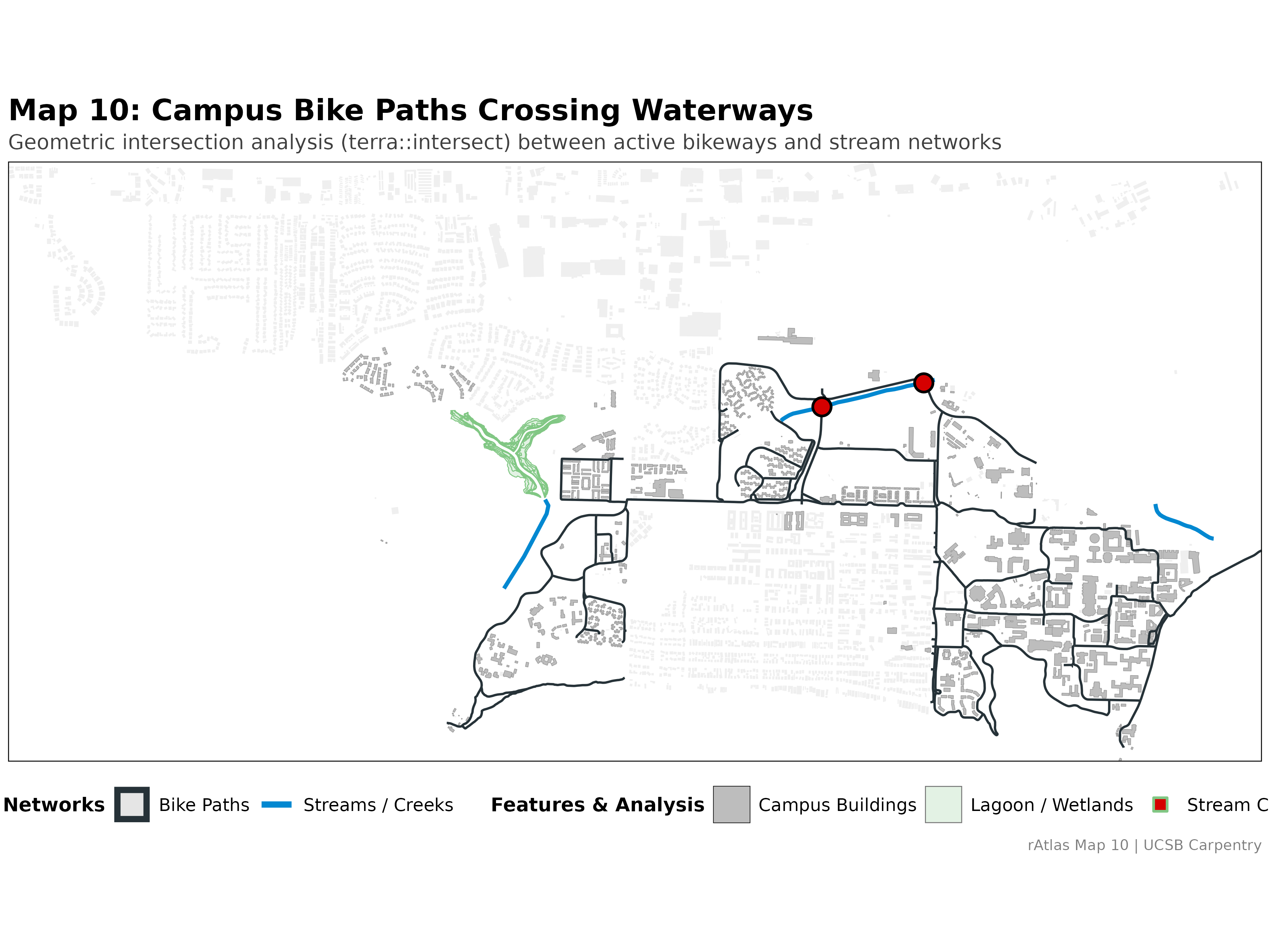
Map 10: Bike Paths Crossing Waterways
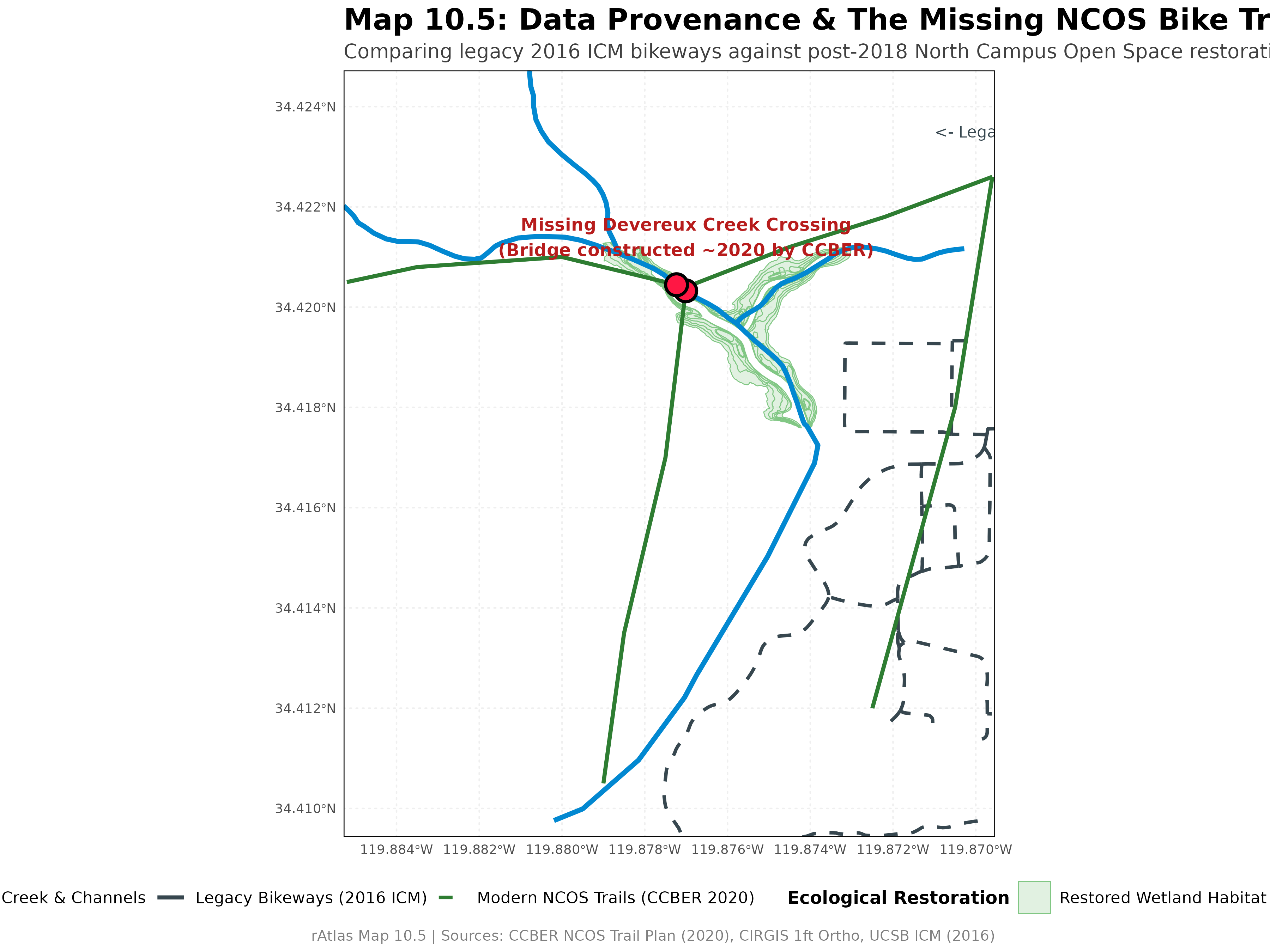
Map 10.5: Data Provenance & The Missing NCOS Trail
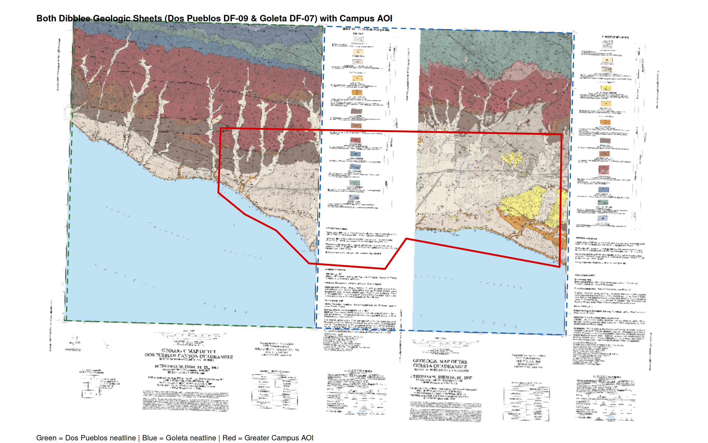
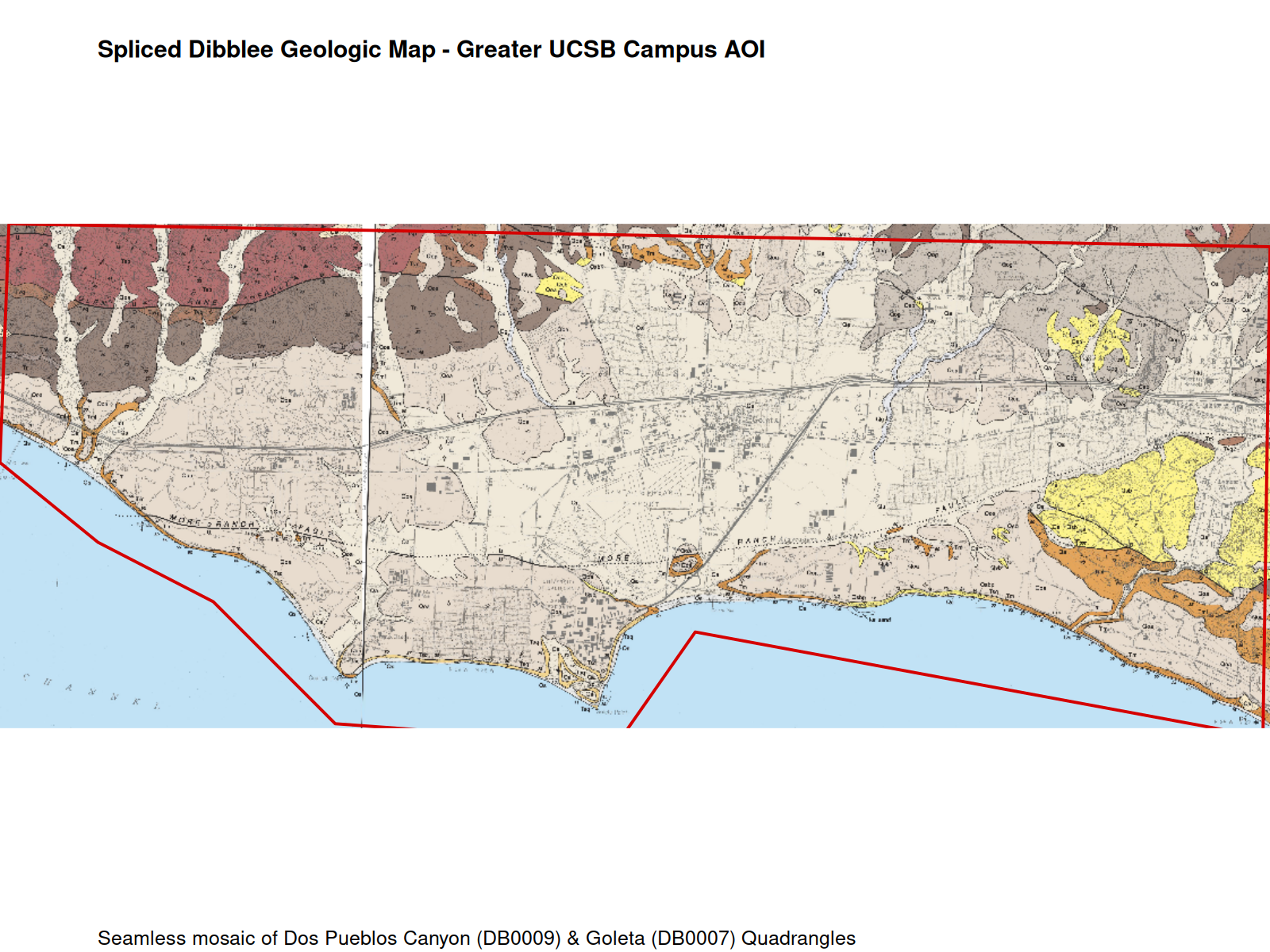
Map 11: Spliced Dibblee Geologic Map
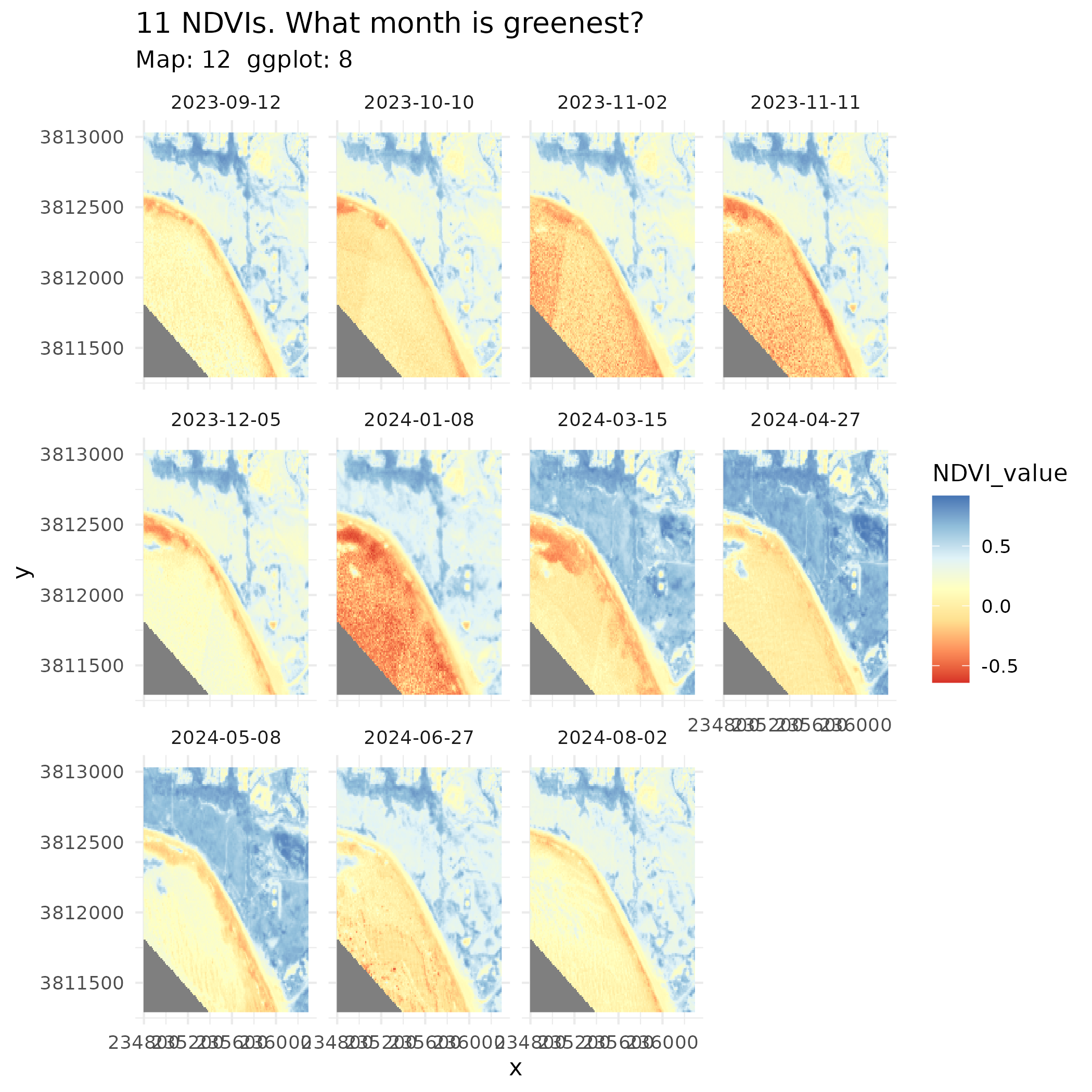
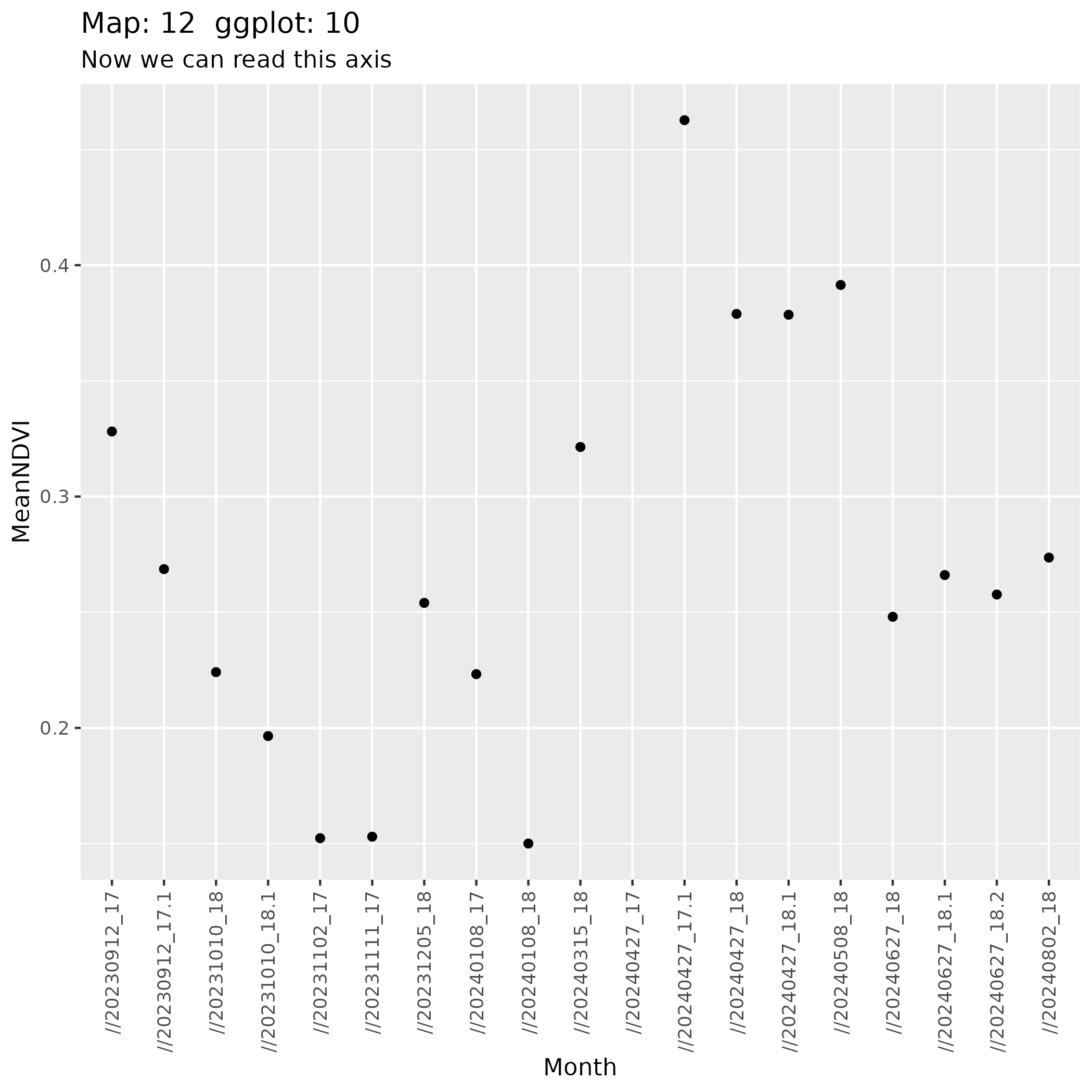
Map 12: 12-Month NDVI Phenology Stack