UCSB R-Atlas
A geospatial R example atlas of the UC Santa Barbara campus
Welcome to the UCSB R-Atlas, a collection of maps and scripts showcasing the University of California, Santa Barbara campus and the work of the Library’s DREAM Lab.
This project started by using local UCSB examples applied to all steps of the Carpentries’ Introduction to Geospatial Raster and Vector Data with R curriculum. That curriculum is now retired, but the rAtlas lives on as a Gemini- and OpenCode example project.
Atlas Map Plates
Explore our 12 atlas maps and spatial analyses:
Map 1: Campus Overview
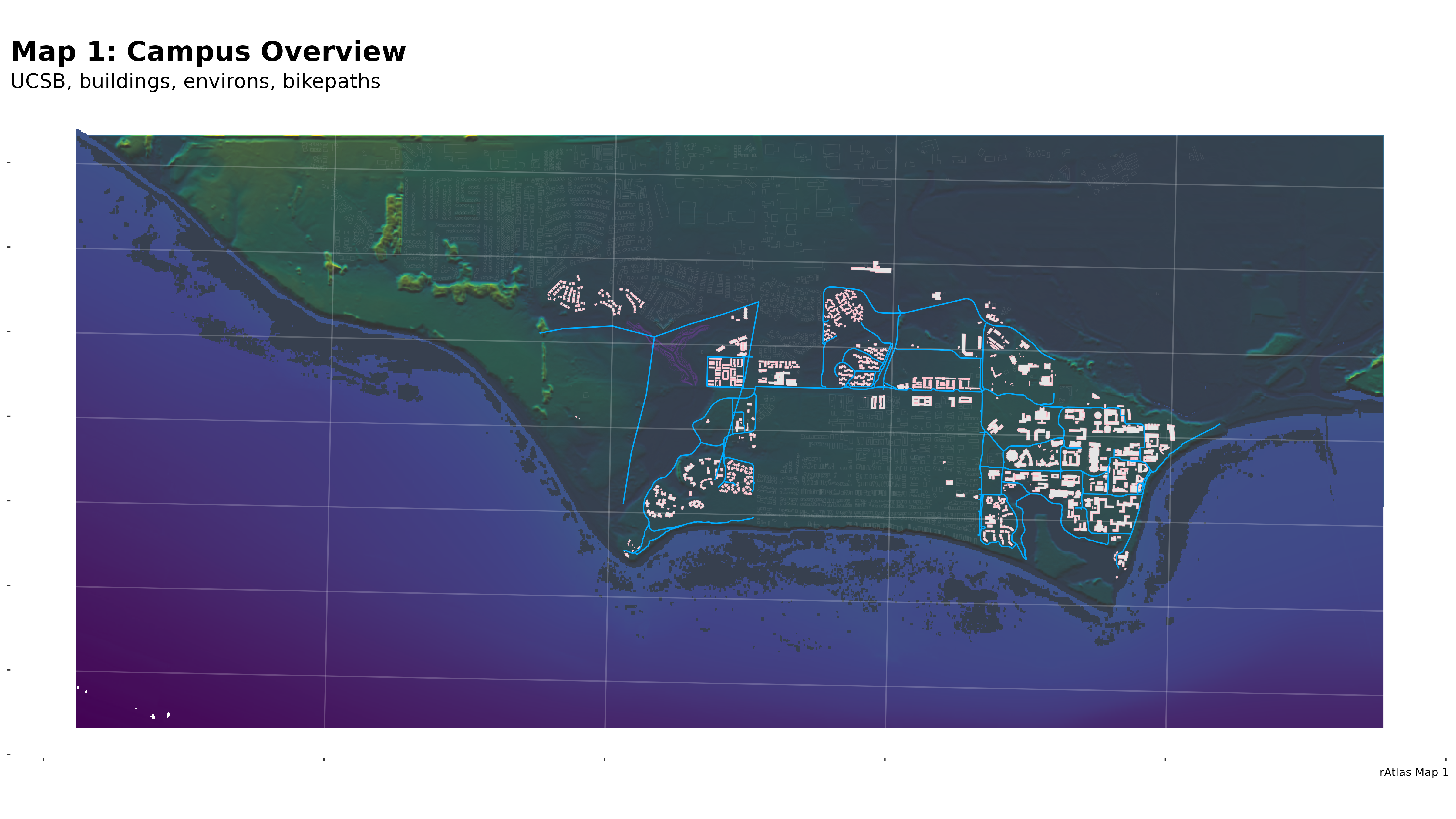
A wide view of campus including NCOS.
Map 2: Trees & Water
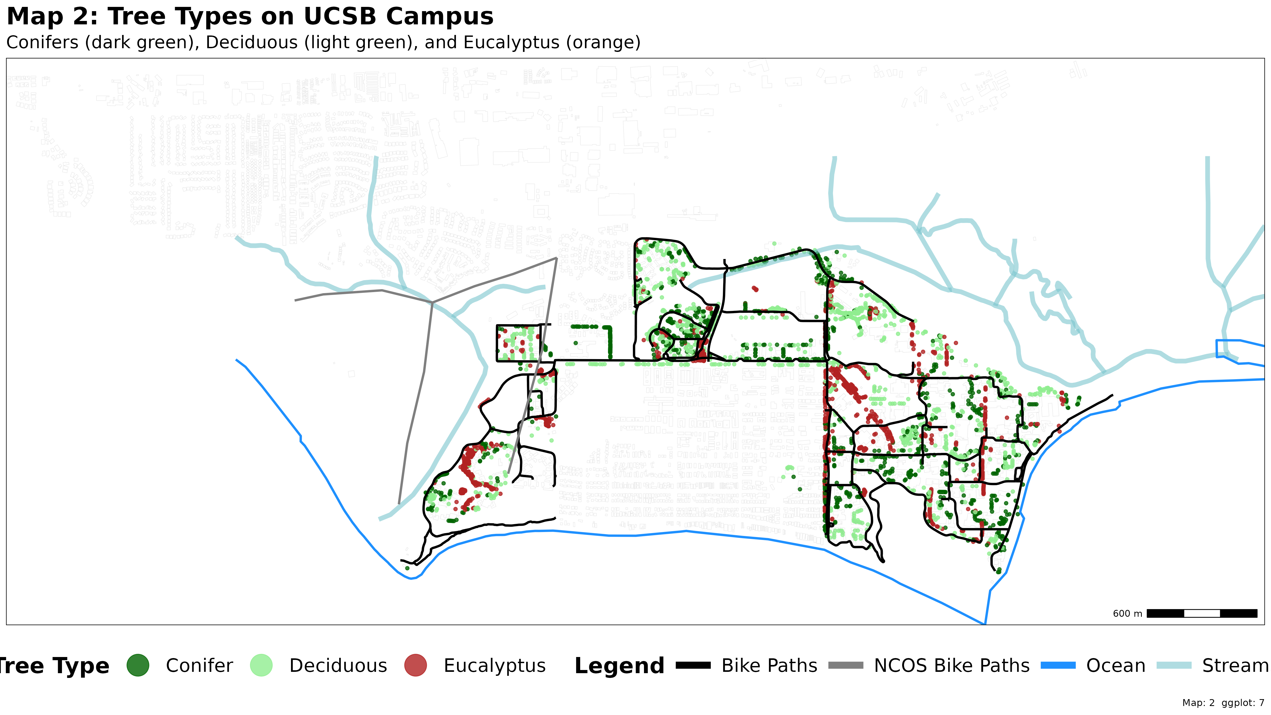
A stylized thematic map visualizing campus tree types alongside water features, bikeways, and NCOS trails.
Map 3: Western US
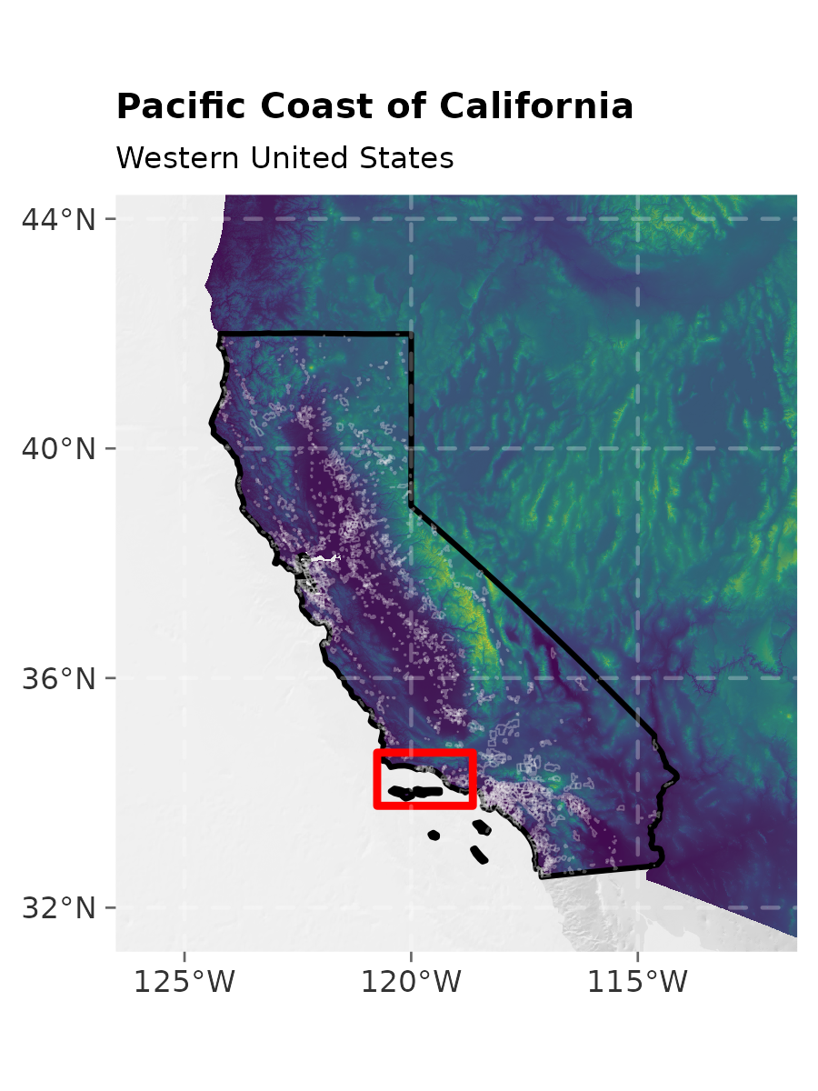
Regional locator inset of the Western US.
Map 4: The Bight of California
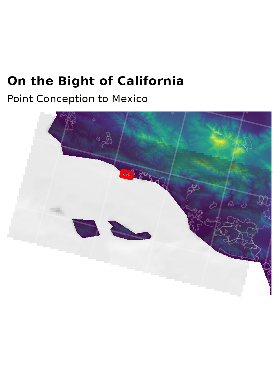
Regional locator for the Southern California Bight.
Map 5: Extended Campus
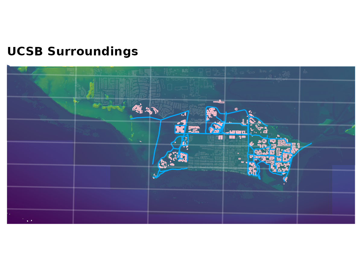
Detailed locator view of the greater campus area showing topography, bathymetry, buildings, and bikeways.
Map 6: UCSB Main Campus
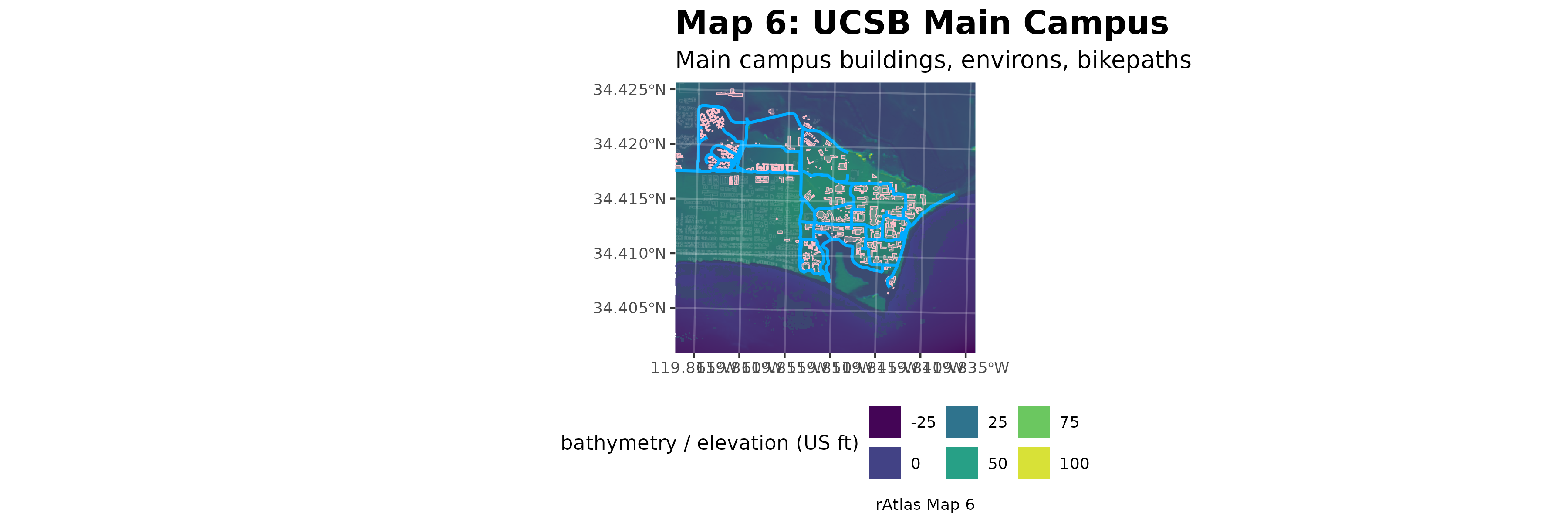
Detailed base map focused on the main campus, using the same visualization style as Map 1.
Map 7: Zoom in foursome
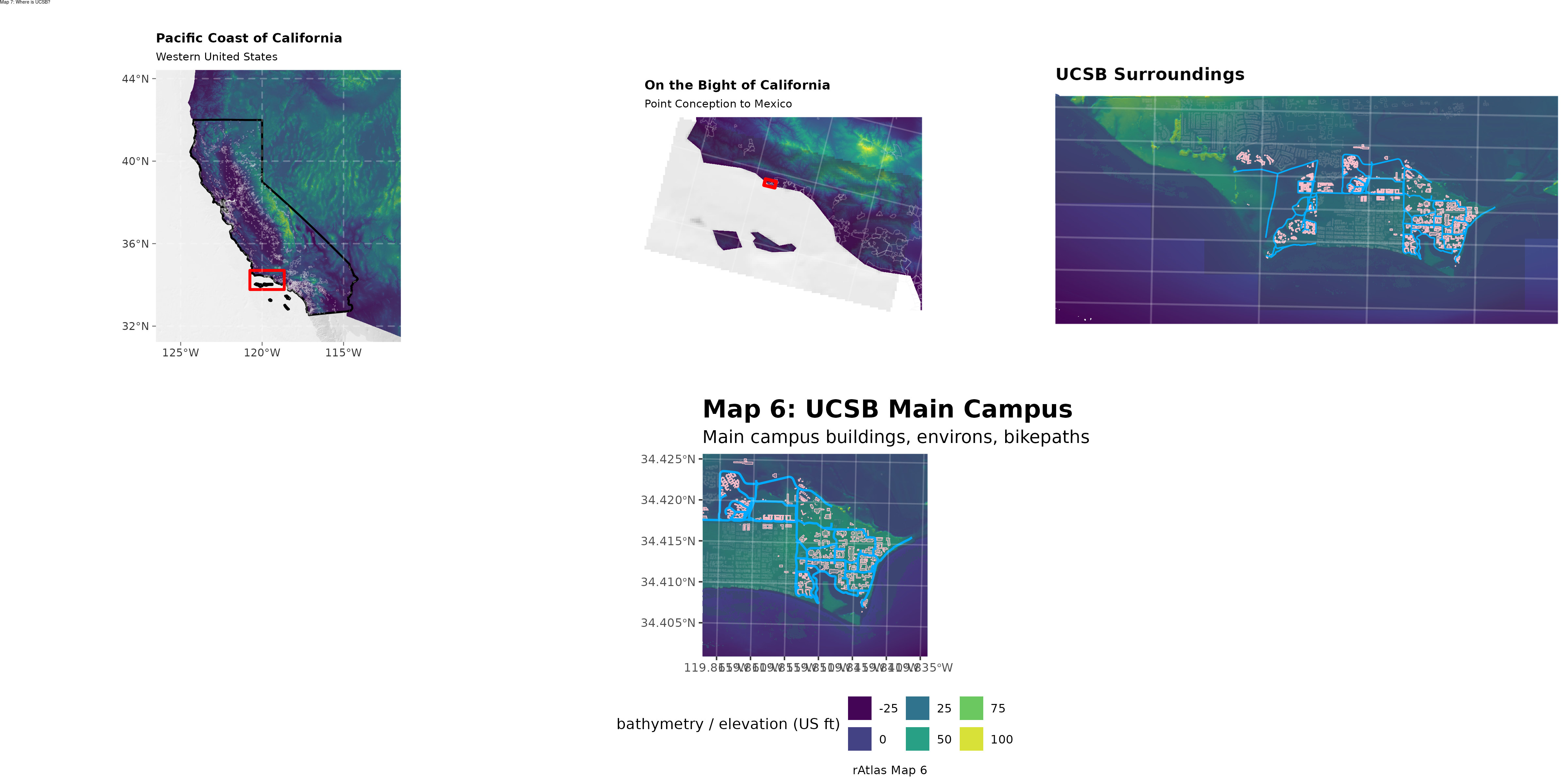
Composite multi-inset atlas plate combining Maps 3, 4, 5, and 6 assembled using magick.
Map 8: Satellite Remote Sensing
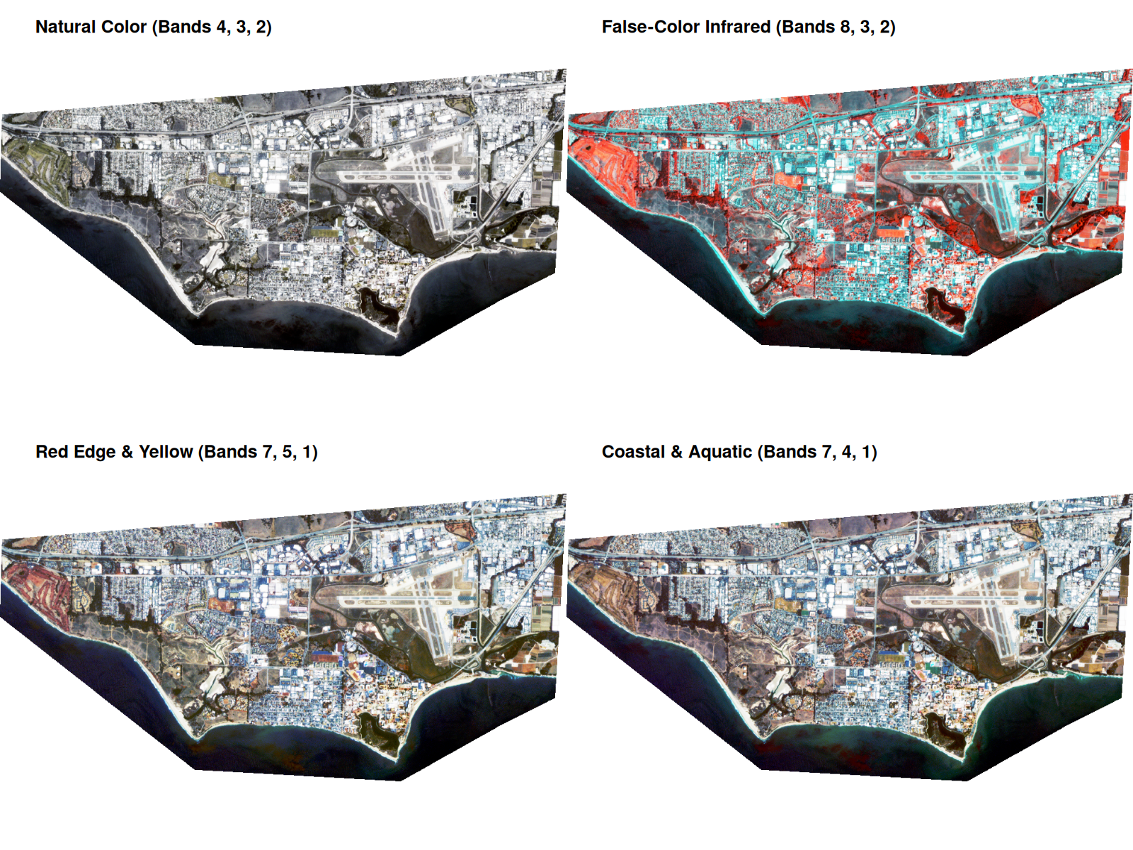
PlanetScope multi-spectral satellite imagery comparing campus across seasons and spectral band composites.
Map 9: Vernal Pools Analysis

Topographic depression analysis using DEMs to identify campus vernal pools (in design).
Map 10: Paths & Creeks
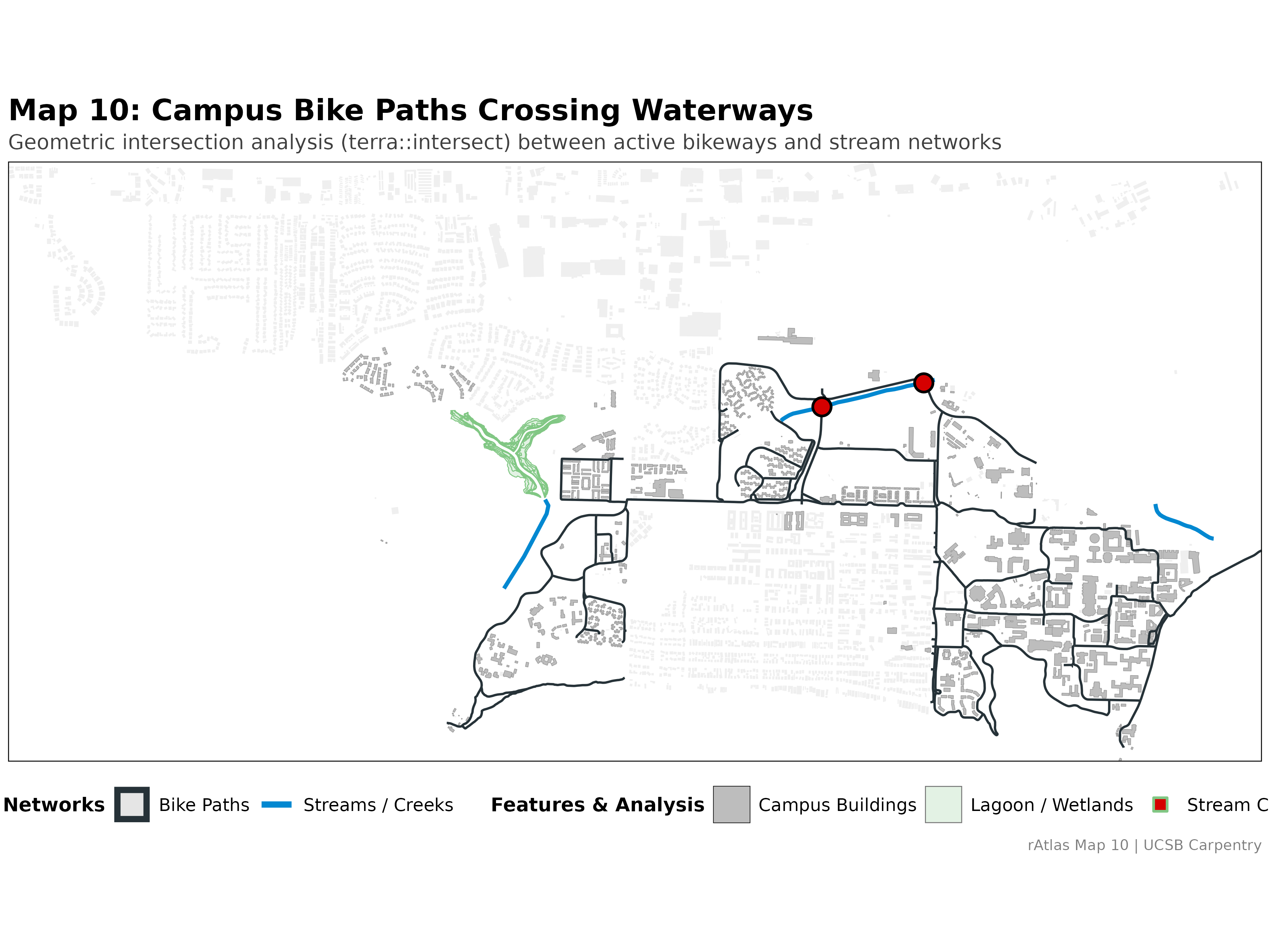
Vector intersection analysis locating where campus bike paths cross local waterways and creeks.
Map 10.5: Data Provenance & NCOS
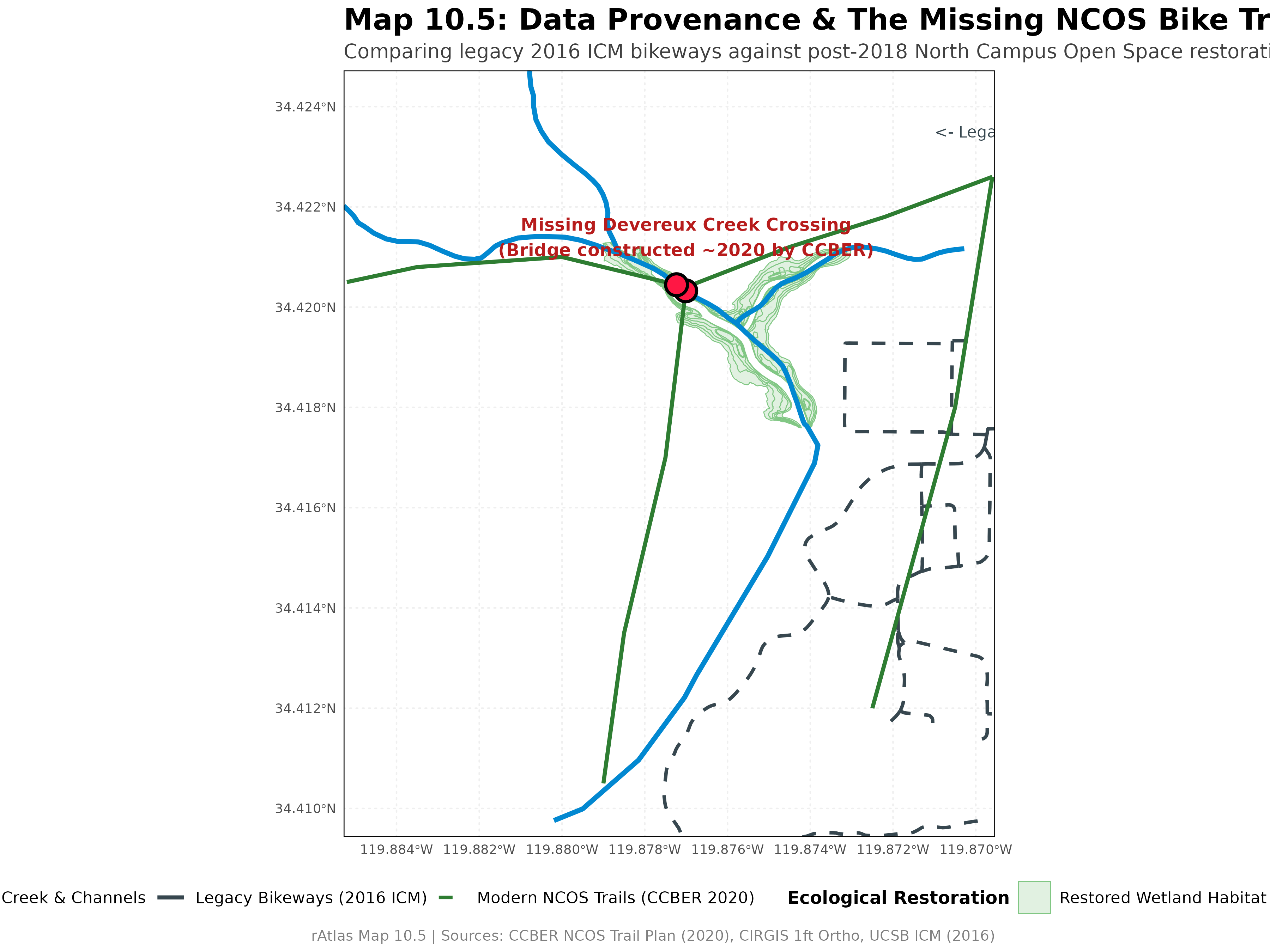
Investigating data blind spots: why the restored NCOS trail and Devereux Creek bridge were missing in the 2016 dataset.
Map 11: Dibblee Geology
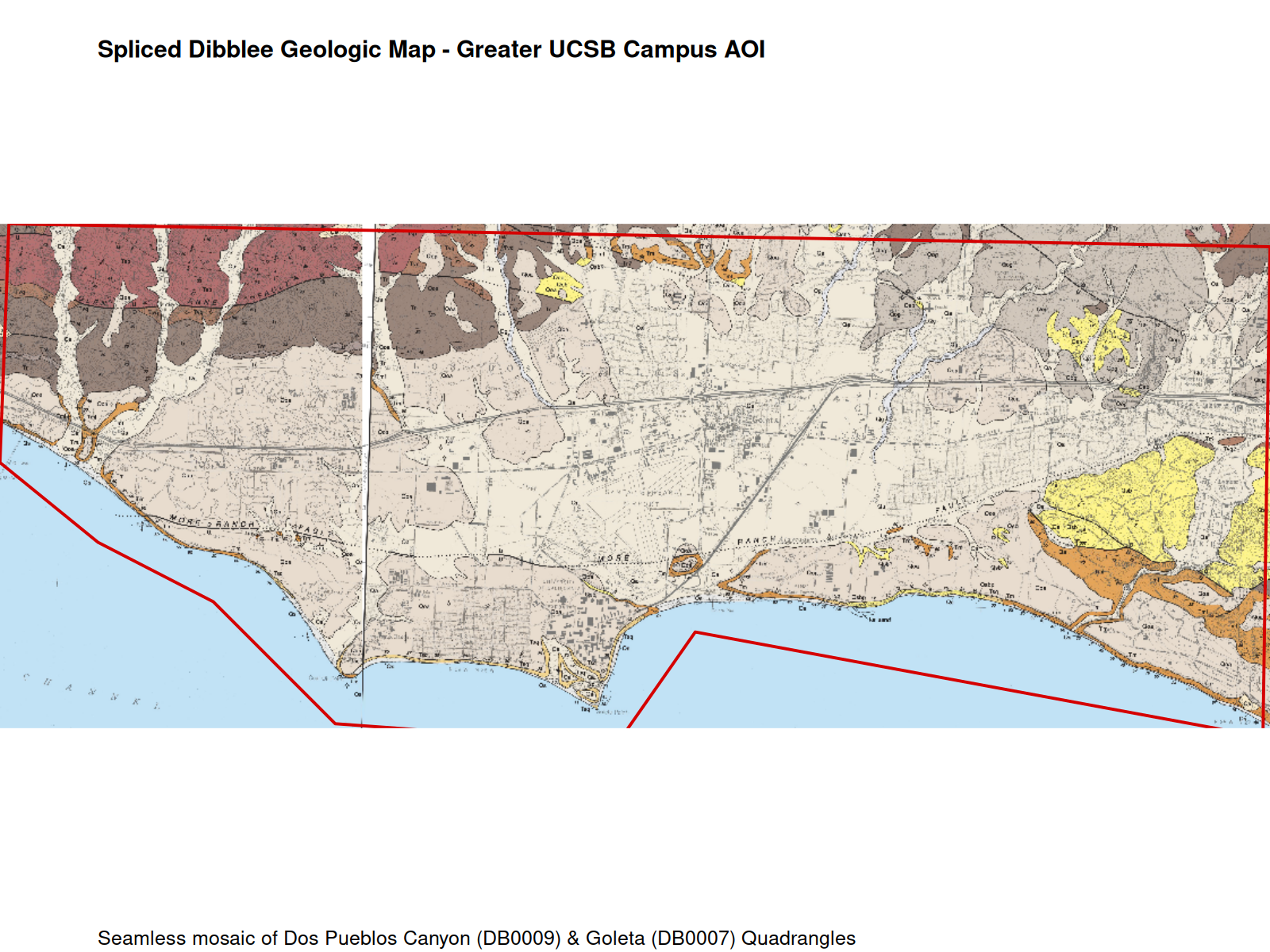
Georeferencing, quadrangle mosaicking, and AOI cropping for the historic Dibblee geologic map.
Map 12: 12-Month NDVI Stack
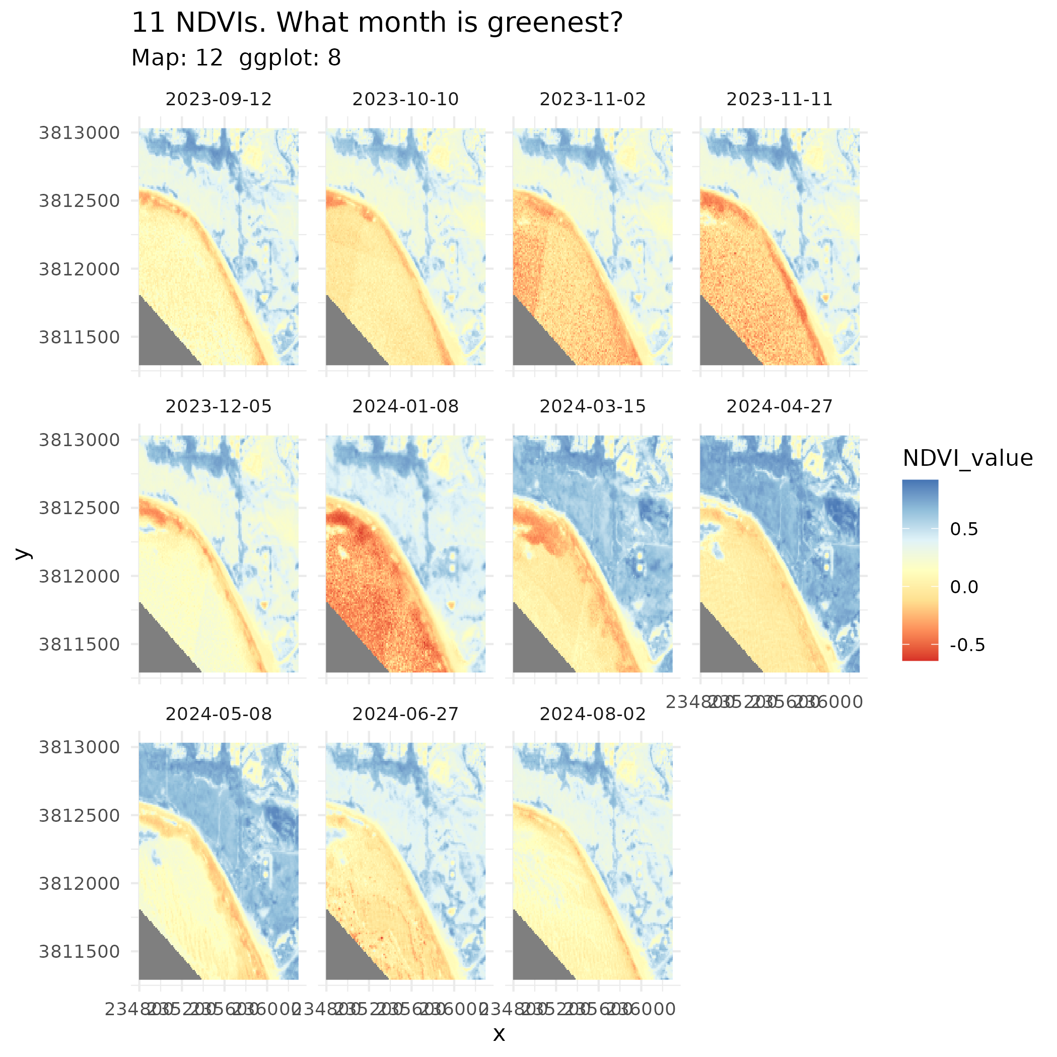
Time-series raster analysis tracking vegetation phenology over a full calendar year.
Getting Started
Clone the repository:
git clone https://github.com/UCSBCarpentry/ucsb-ratlas.git
cd ucsb-ratlas
Download source data: Run
scripts/data_prep_new.r(orscripts/data_prep.r) to download the required dataset archive from Google Drive and unzip intosource_data/.Run map scripts: Execute
scripts/run_every_map.rto render all atlas plates intoimages/andfinal_output/.Learn more:
- Explore our Data Dictionary for layers and CRS definitions.
- Read our Progress Log for developmental notes.
- Visit UCSB Carpentry.